
Since the Park’s creation, the Trust has conducted a number of geotechnical surveys to study characteristics of the Park’s Estuarine Sanctuary. These include studies to measure water depth, or bathymetry, as well as sediment characteristics, such as grain type, size, and bedrock depth, within the Park. These surveys are conducted prior to in-water construction projects in order to get an understanding of site topography and sediment composition.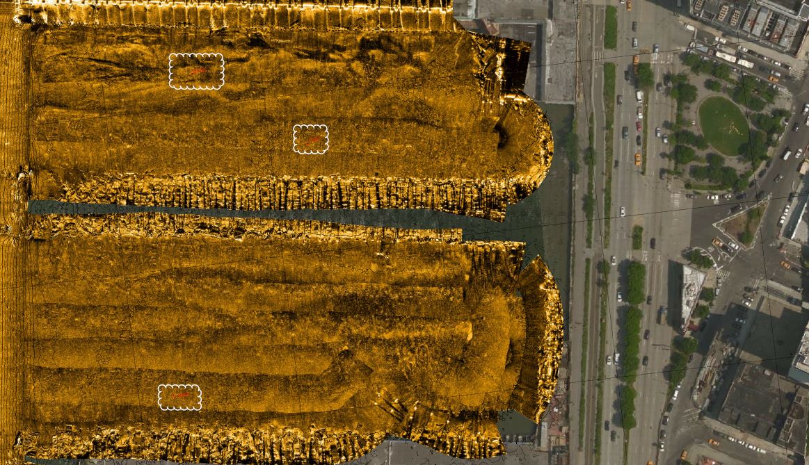
These in-water surveys contain valuable information about the topography of waters under and surrounding various piers, the types of sediment located at different depths, and the location of bedrock throughout the Park. This information is both integral to construction and useful to community scientists hoping to learn more about what lies beneath the Hudson River. The documents below outline the data contained in these surveys.
The Hudson River is a dynamic system, so the data gathered in some past (especially older) surveys may not be accurate to the conditions of the River today. As the Park continues pier refurbishment and construction there is more opportunity to update and expand upon these data. If you would like to access files for a certain area, please contact [email protected].