In this section

25 Years of Hudson River Park

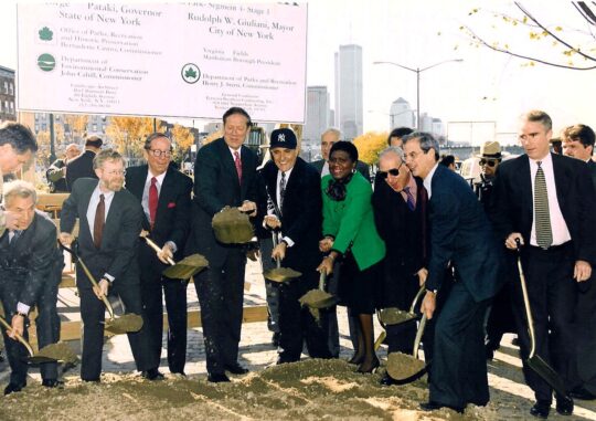
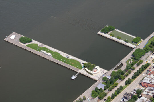
In 1998, the passage of the Hudson River Park Act launched the transformation of Manhattan’s post-maritime west side waterfront into a blue and green oasis that welcomes millions of New Yorkers and visitors from around the world every year.

This revitalization didn’t take place overnight — in fact, it’s still underway, with the exciting openings of Gansevoort Peninsula, Pier 97 and the Pier 26 Science Playground.

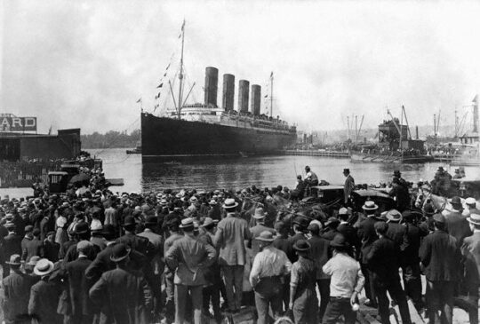
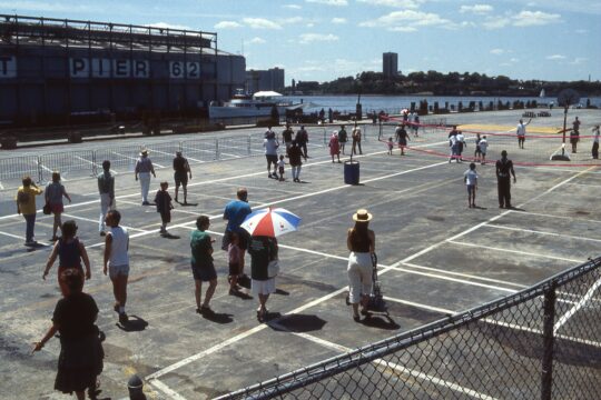
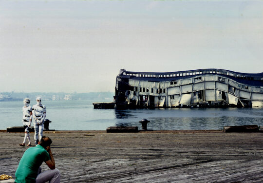
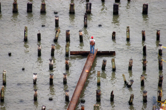
In the galleries below, you can glimpse our piers when they were part of one of the world’s busiest working waterfronts, explore images of your favorite Park locations then and now, experience the pre-Park waterfront from the lens of local photographers — and enjoy some of our favorite moments from the last 25 years.

Since the signing of the Hudson River Park Act in 1998, the Park has grown piece by piece and pier by pier. Explore a brief timeline of this still-unfolding public space.

In this gallery, you’ll find photos of our waterfront’s past life at the heart of New York City’s maritime economy — and often, at the center of world events as well.

Featuring photos of our piers in their pre-Park years paired with current photos, this gallery offers the opportunity to see your favorite Hudson River Park piers now side-by-side with windows into the past.

In this special digital exhibit, explore a selection of the works of photographer Shelley Seccombe, a longtime Greenwich Village resident, showing the conditions of the west side waterfront before it became Hudson River Park, depicting New Yorkers’ interactions and explorations among the ruins of the Hudson River piers.

Photojournalist Carl Glassman has photographed the changing landscape of the Tribeca waterfront for more than 40 years as it developed into today’s Hudson River Park.

The waterfront’s transformation has been captured through aerial photography for over two decades. Aerial photography provides an alternate view of the built environment that no map can equal.